The Philippine Atmospheric Geophysical and Astronomical Services Administration is monitoring several weather systems.
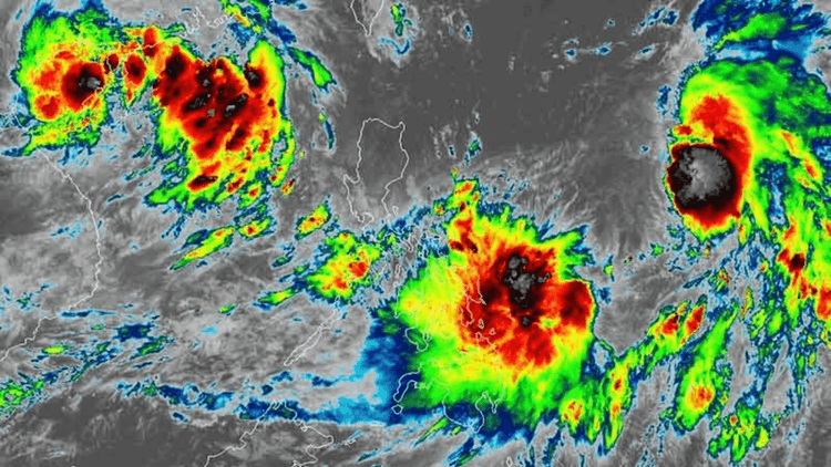
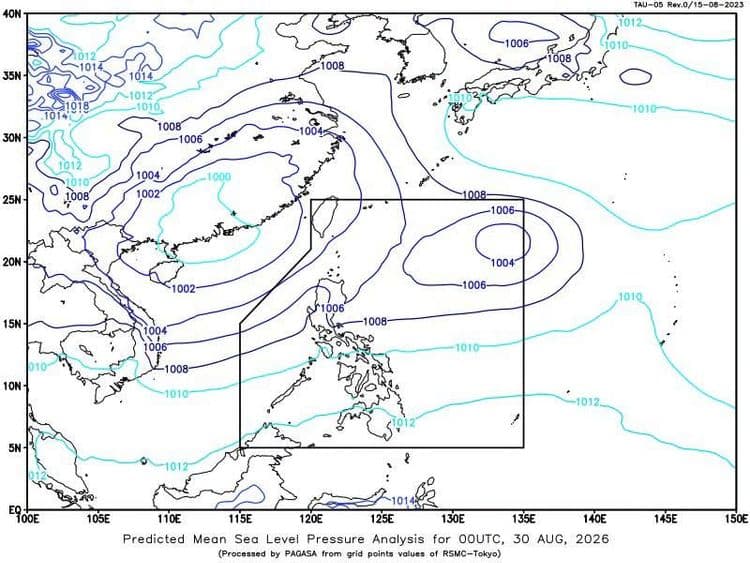
PAGASA said one low pressure area is outside the Philippine Area of Responsibility, 2250 km east of Southeastern Luzon, and the other is inside, 530 km east of Catarman in Northern Samar.
PAGASA is also monitoring the Intertropical Convergence Zone affecting Visayas, Mindanao and Palawan and the northeasterly windflow affecting the eastern sections of Northern and Central Luzon.
Cloudy skies with scattered rains and thunderstorms are expected over Bicol Region, Eastern Visayas, Quezon, Marinduque and Romblon due to the LPA, while the same conditions are expected over Mindanao, the rest of Visayas and Palawan because of the ITCZ.
Cagayan Valley, Aurora and Apayao will experience cloudy skies with light rains.
Metro Manila and the rest of Luzon, meanwhile, will have partly cloudy to cloudy skies with isolated rain showers and thunderstorms.
While moderate to strong winds and moderate to rough coastal waters are expected in Northern Luzon and the eastern section of Central Luzon, the rest of the country will have light to moderate winds and slight to moderate coastal waters.