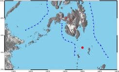
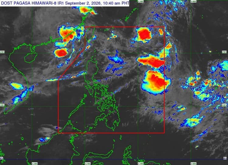
Tropical Storm "Pilandok" is now moving northwestward over the Philippine Sea.
The Philippine Atmospheric Geophysical and Astronomical Services Administration said that although no tropical cyclone wind signal is in effect, the southwest monsoon will bring strong to gale-force gusts over the following areas today until Friday:
most of Luzon and Visayas
Zamboanga del Norte
Misamis Occidental
Lanao del Norte
Misamis Oriental
Camiguin
Dinagat Islands
Davao Occidental
Davao Oriental
A gale warning is also in effect over the northern and western seaboards of Northern Luzon.
PAGASA said "Pilandok" is forecast to remain as a tropical storm as it continues to move far from the Philippine landmass, with its center located 1,35 km east northeast of Extreme Northern Luzon.
"Pilandok" is forecast to exit the Philippine Area of Responsibility (PAR) tonight or tomorrow morning.