
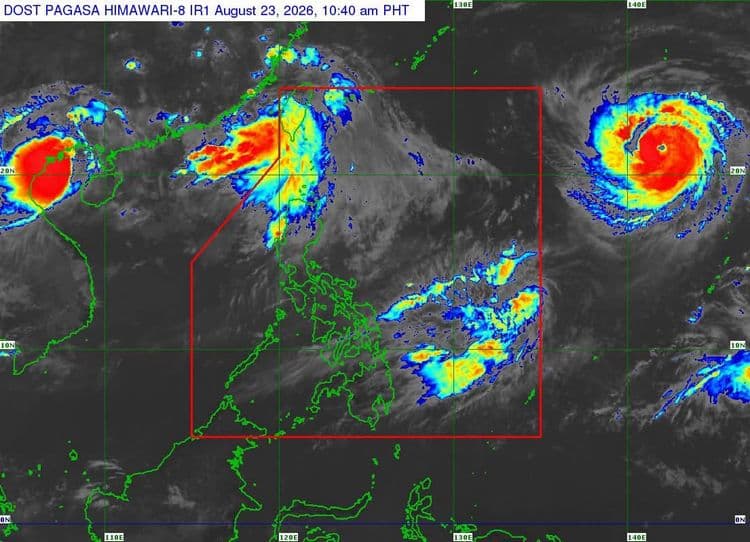
Typhoon "Saudel" is moving west northwestward over the Philippine Sea east of extreme Northern Luzon.
The Philippine Atmospheric Geophysical and Astronomical Services Administration said while "Saudel" remains outside the Philippine Area of Responsibility, its center is forecast to enter the northeastern boundary of PAR by tomorrow morning or afternoon.
So far, the center of the eye of the typhoon was estimated 2,085 km east of extreme Northern Luzon.
If it enters PAR, it will be named "Obet" or "Pilandok," depending on the order of the entry, PAGASA said.
The tropical cyclone is forecast to reach Super Typhoon category by tomorrow, prior to its entry to PAR.
PAGASA said after reaching its peak intensity, a gradual weakening is expected but the possibility of "Saudel" entering PAR as a Super Typhoon is not ruled out.
"Considering these developments, the public and disaster risk reduction and management offices concerned are advised to continue monitoring for updates related to this tropical cyclone," PAGASA added.