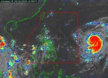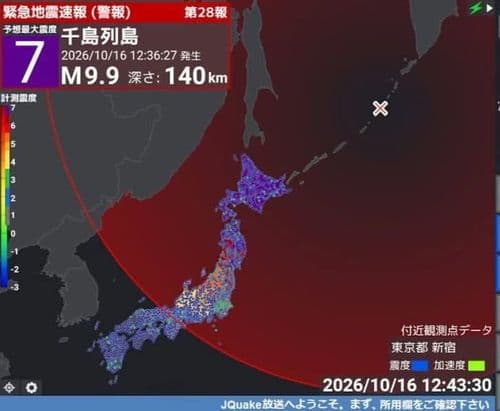
Satellite imagery captured Typhoon Dujuan intensifying and swirling across the Pacific Ocean as it moved toward Japan between September 17 and 21.
The typhoon formed near the Mariana Islands before tracking north toward Japan, bringing torrential rain and strong winds to eastern parts of the country.
Some areas have recorded more than 300 millimeters of rain since Saturday, prompting Japan’s weather agency to issue its highest-level landslide emergency warning for Oshima in the Izu Islands.
Authorities warned that conditions could deteriorate rapidly as Dujuan moves close to the Tokyo metropolitan area.
Video: Reuters