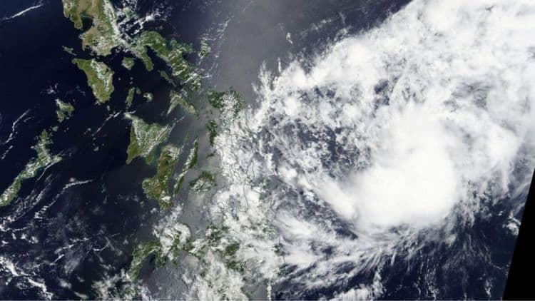
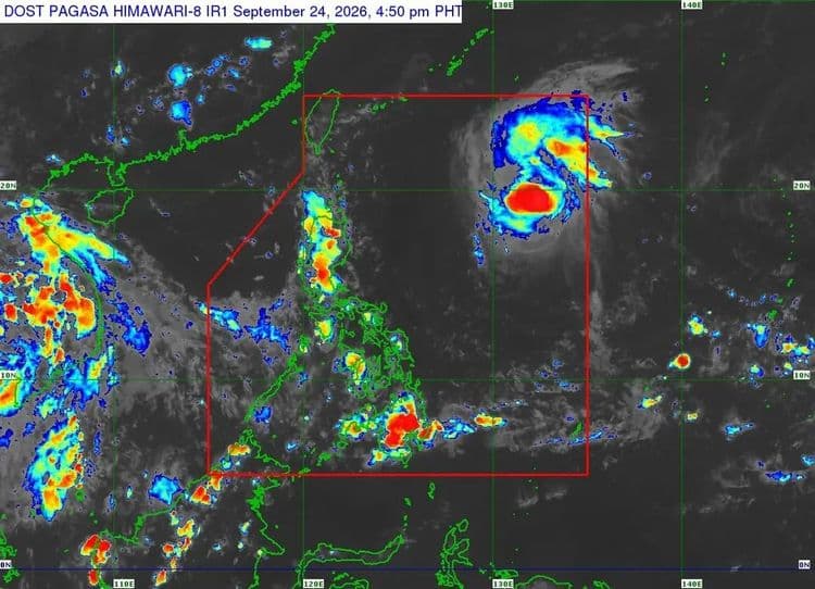
"Queenie" maintained its strength as it moved northwestward over the Philippine Sea east of Northern Luzon on Thursday, Sept. 24.
While no tropical cyclone wind signals are up, the Philippine Atmospheric Geophysical and Astronomical Services Administration said that the trough of "Queenie" will bring strong to gale-force gusts over Davao Oriental, Davao Occidental, and Sarangani from Friday to Saturday.
The center of "Queenie" is so far located 1205 km east of Northern Luzon.
The tropical storm is packing maximum sustained winds of 75 kph near the center and has a gustiness of up to 90 kph.
PAGASA said it is moving northwestward at 25 kph and is forecast to later generally move west northwestward until Friday.
It is then expected to turn north northeastward by Sunday.
While inside the Philippine Area of Responsibility, PAGASA said the tropical cyclone will gradually intensify and may reach the typhoon category on Sunday.