
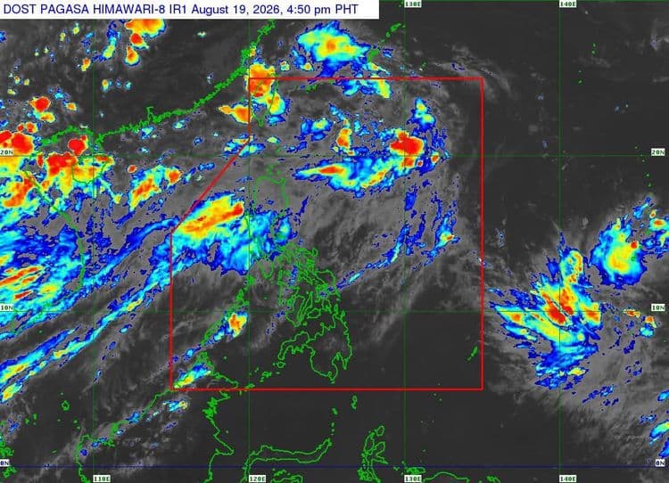
Tropical Depression "Neneng" slightly weakened on Wednesday, Aug. 19, while moving west northwestward over the sea east of Central Taiwan.
The Philippine Atmospheric Geophysical and Astronomical Services Administration said the center of the tropical cyclone was estimated 375 km northeast of Itbayat, Batanes.
"Neneng" is packing maximum sustained winds of 45 km/h near the center and has a gustiness of up to 55 km/h.
It is moving west northwestward at 35 km/h.
PAGASA said the southwest monsoon will still bring strong to gale-force gusts over most of Luzon and Visayas, Zamboanga Peninsula, Northern Mindanao, and Davao Region today until Thursday.
On Friday, most of Luzon, Panay Island, Negros Occidental, Northern Samar, and Davao Oriental will experience the same conditions.
According to the weather bureau, "Neneg" is forecast to move generally northwestward and may pass close or make landfall over the northern coast of Taiwan by tomorrow evening or early Friday morning.
The center of "Neneng" will remain over the Philippine Sea throughout the forecast period.
"Neneng" will remain a tropical depression in the next 24 hours before it weakens into a remnant low on Friday morning.
"However, earlier weakening into a remnant low is not ruled out," PAGASA said.