
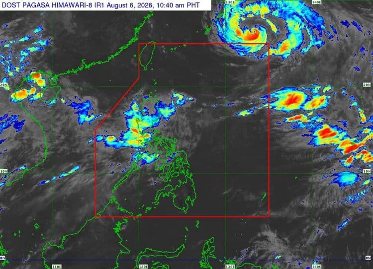
"Maymay" has weakened into a tropical depression.
The Philippine Atmospheric Geophysical and Astronomical Services Administration said Signal No. 1, however, remains hoisted over the following areas:
southern portion of Babuyan Islands (Calayan Is., Dalupiri Is, Fuga Is., Camiguin Is.)
Ilocos Norte
Ilocos Sur
La Union
northwestern portion of Pangasinan (Bolinao, Anda, Bani)
Apayao
Abra
Kalinga
Mountain Province
Ifugao
Benguet
mainland Cagayan
Isabela
Quirino
Nueva Vizcaya
northern and central portions of Aurora (Dilasag, Casiguran, Dinalungan, Dipaculao)
PAGASA said the center of "Maymay" is in the vicinity of Tanudan, Kalinga so far.
The tropical cyclone is packing maximum sustained winds of 55 km/h near the center and has a gustiness of up to 90 km/h.
It is moving southeastward slowly.
PAGASA said the southwest monsoon and the periphery of "Maymay" will also bring strong to gale-force gusts over most of the country today until Saturday.
A gale warning is in effect over the western seaboard of Northern Luzon.
"Maymay" is forecast to traverse the mountainous terrain of Northern Luzon before emerging over the eastern coastal waters of Isabela or Cagayan.
It will continue to weaken while moving further inland and may be downgraded into a remnant low this afternoon or evening.
PAGASA said it may also weaken earlier due to its interaction with the rugged terrain.
" The remnant low of "Maymay" will move generally southeastward until it merges into the larger circulation of Tropical Cyclone "Dolphin," PAGASA said.